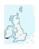
Navionics+ Regular Chart: EU066R - Alpine Lakes & Rivers
Estimated Delivery 7 - 14 days
RRP £149.99
Navionics Charts are derived from multiple official, government and private sources, displayed in a familiar look and feel. Supplied on a SD-Card (Micro SD With SD-Card Adapter).
This chart replaces the following legacy areas:
- 538 - Central European Lakes
- Advanced Map Options
- SonarChart Live
- Dock to Dock Autorouting
- SonarChart
- Community Edits
- Nautical Chart
Navionics provides comprehensive charts derived from multiple official government and private sources displayed in a familiar look and feel.
The Navionics subscription: A one-year subscription to Daily Updates and advanced features is included when you purchase any new product.
After a year you can renew at a discounted price.
Charts & Updates
Nautical Chart: Comprehensive charts derived from multiple official government and private sources displayed in a familiar look and feel.
SonarChart: Innovative 1' (0.5 m) bathymetry charts created using Navionics proprietary systems.
Community Edits: Useful local knowledge from edits made by users of the Navionics Boating app.
Daily Updates: Up to 5 000 updates to our charts every day.
Subscription Advanced features
Dock-to-dock Autourouting: Start your trip with a suggested route
Advanced Map Options: Customise your view.
Plotter Sync: Plan on mobile go on plotter!
-
 C-Map® Gulf Of Lion-Max£274.22 £228.52
 -
-
 Garmin Reactor 40 Kicker Autopilot Stainless Steel Tilt Tube & GHC 50
MPN: 010-02794-10£2,490.49 £2,075.41 -
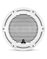
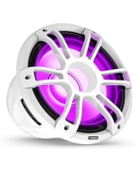 Fusion SG-SL123SPW 12" 3i CRGBW LED Subwoofer 1400W - Sports White
MPN: 010-02775-10£465.49 £387.91 -
-

-
Octopus Drives 45 mm Bore Cylinder Seal Repair Kit£188.16 £156.80
-

-
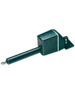
 Simrad Pushrod Extension 60 MM (2.4 in )£49.11 £40.92
 -