
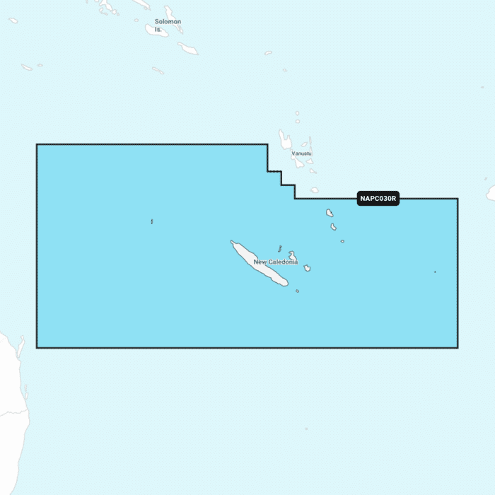
Navionics+ Regular Chart: PC030R - New Caledonia
Ready to dispatch
Navionics Charts are derived from multiple official, government and private sources, displayed in a familiar look and feel. Supplied on a SD-Card (Micro SD With SD-Card Adapter).
This chart replaces the following legacy areas:
- 217 - New Caledonia
- Advanced Map Options
- SonarChart Live
- Dock to Dock Autorouting
- SonarChart
- Community Edits
- Nautical Chart
Navionics provides comprehensive charts derived from multiple official government and private sources displayed in a familiar look and feel.
The Navionics subscription: A one-year subscription to Daily Updates and advanced features is included when you purchase any new product.
After a year you can renew at a discounted price.
Charts & Updates
Nautical Chart: Comprehensive charts derived from multiple official government and private sources displayed in a familiar look and feel.
SonarChart: Innovative 1' (0.5 m) bathymetry charts created using Navionics proprietary systems.
Community Edits: Useful local knowledge from edits made by users of the Navionics Boating app.
Daily Updates: Up to 5 000 updates to our charts every day.
Subscription Advanced features
Dock-to-dock Autourouting: Start your trip with a suggested route
Advanced Map Options: Customise your view.
Plotter Sync: Plan on mobile go on plotter!
-
-
 BEP Ultrasonic Tank Sender£126.32 £105.27
 -
-

-

-
 BEP Label Set For Circuit Breaker Panels - Set 22£27.99 £23.32
 -
-
C-Map® Victor Harbor To Wellesley Islands-4D£262.66 £218.88
-
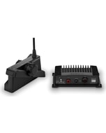 Garmin Panoptix LiveScope XR System with GLS 10 & LVS62 Transducer
MPN: 010-02719-00£2,086.79 £1,738.99 -
-

-